For better or worse, it’s clear almost a decade on from the referendum that “Brexit” didn’t just redraw political borders, but also rewired how the UK governs its seas. Now, from outside of the EU’s Marine Spatial Planning Directive the UK is reshaping marine regulation on its own terms.
New licensing models, evolving environmental assessments, and cross-border challenges are redefining what compliance looks like. For developers, it’s a landscape full of opportunity. *That’s if (of course) you’ve got the tools to navigate it.
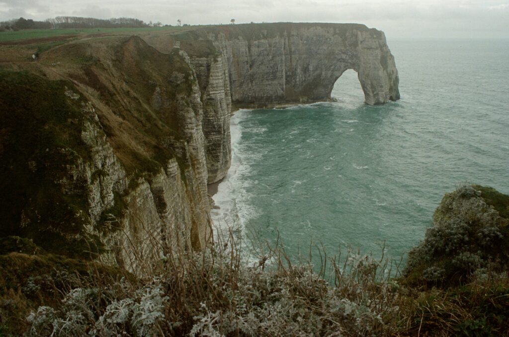
Here’s how the regulatory map of UK waters is shifting, and where NeuWave helps chart the course.
Streamlining begins at step one…
Help your development hit the ground running with regulation-ready environmental reports from NeuWave. Cutting-edge AI innovation delivered via an intuitive online platform. Driving faster, more confident results.
Legal and institutional shifts in UK marine planning
Since stepping away from the EU’s Marine Spatial Planning Directive (MSPD), the UK has been steadily reworking its approach to marine governance with a firm focus on sovereignty, sustainability, and streamlining.
British waters remain under the stewardship of the Marine Management Organisation (MMO), operating within the longstanding bedrock of the Marine and Coastal Access Act (2009).
But recently, the currents have been shifting.
The Environment Act of 2021 introduced legally-binding targets for ocean health, aiming for 70% of features in Marine Protected Areas to reach “favourable condition” by 2042. Not overly ambitious, but a start nonetheless.
At the same time, the phased rollout of the Highly Protected Marine Areas (HPMAs) has brought stricter controls on industrial development in ecologically sensitive waters.
Licensing is evolving, as well, and in June this year, the MMO partnered with UK Major Ports to trail what they call a “regulatory sandbox,” a live, collaborative trial space intended to encourage a rework of marine licensing from the ground up.
That sounds a bit abstract, but in practice it means a real-world testbed for faster, smarter licensing processes between ports and regulators. It’s a more agile and results-driven approach than traditional consultations; aiming to accelerate approvals while safeguarding marine ecosystems.
The natural-capital approach
In April 2025, the Marine Management Organisation (working with Natural England) designed and introduced a change in how marine planning impacts are assessed.
The East Marine Plan’s updated Sustainability Appraisal (SA) now embeds a “natural capital” approach, protecting and enhancing the ecosystems that keep our coastal communities afloat. Think fish stocks and repopulation, clean water, carbon absorption; all now baked directly into planning and decision making from the start.
Monitoring data suggests that shift is gaining traction. In the South West, 100% of marine licensing decisions in 2023-4 referenced the relevant marine plan policies, a good sign that guidance is landing where it matters. But uptake hasn’t been uniform. Updates to the MMO’s application system did encourage more developers to consider plan policies, though around 40% said it made no difference.
It’s progress. But as ever in marine planning, the gap between policy and practice is still present. That’s where smarter systems, and sharper guidance, will come in.
Post-Brexit offshore environmental assessments
With the MMO moving towards a more collaborative and digitally-streamlined licensing model, we should start to see some reduced friction between the interests and timelines of developers, regulators, and data providers.
Environmental integrity is at the core of the UK’s post-Brexit environmental assessments; but now with smarter, and more adaptive systems in place.
Marine licensing applications are increasingly integrated with online systems and live mapping tools, designed to reduce the delays caused by incomplete or fragmented data – a long-standing issue in environmental assessment for offshore industrial developments and navigation.
Next-gen tools streamline these processes, bringing all essential environmental data into one place (at least, that’s how we do it here at NeuWave).
Environmental assessments themselves are also evolving. Developers still need to meet high standards, but the process is becoming more intuitive, more consistent, and more accessible. SEAs, EIAs and HRAs are being better aligned with marine plans and the natural-capital approach, strengthening environmental protections while cutting idle time.
Better tools means better data…
NeuWave’s high-resolution data offers decisions made with confidence. With clearer insight into real local conditions, developers can understand their site before boots hit the ground – or boats hit the waves.
International challenges for UK waters
The UK isn’t going completely solo with marine planning regulation post-Brexit.
UK and EU vessels still operate in each other’s waters under a long-term deal extending reciprocal access until 2038. Despite calls for increased ‘sovereignty,’ it’s these frameworks quietly ensuring fish stocks are jointly managed and disputes don’t derail cooperation (and ecological stability).
Though frictions do still flare up. In 2024, the UK banned sandeel fishing in English waters to protect marine ecosystems, triggering the first arbitration under the UK-EU trade deal. It was a technical regulatory “red-card” in attempt to protect the UK’s waters and marine species.
The 2025 ruling backed Scotland’s science-led ban, but flagged England’s as disproportionate. Rather than dig in, the UK revised its approach, maintaining environmental protections while aligning with trade obligations.
It’s a sharp reminder: sustainable offshore planning can’t ignore transboundary politics. When managed well, disputes can become progress points, not roadblocks.
NeuWave compliance solution
Built from the start with developers in mind, our tools help to hit regulatory demands without compromising speed, clarity, or environmental responsibility. NeuWave’s compliance solution exists to connect the dots between policy shifts, planning constraints, and real-world marine operations.
Whether you’re planning a new offshore development or managing ongoing licensing requirements, we make the path forward clearer and faster.
So, what sets us apart from other tools?
- Integrated data intelligence: Bringing together live environmental datasets, marine spatial plans, protected areas, vessel restrictions, and licensing constraints
- Pre-built regulatory overlays: From MPA boundaries to seasonal sensitivities and legal thresholds, we map your project’s risks and permissions quicker than traditional reports
- Compliance-built navigation: Our route planning engine aligns vessel activity with local, national, and transboundary regulatory zones
- Dynamic EIA/HRA support: Easily cross-reference project areas with designated features, updated consents, and spatial buffers relevant to SEAs, EIAs and HRAs
- Custom exportable reporting: Generate automated, regulator-ready summaries to fast-track approvals and improve documentation accuracy
In an increasingly complex marine landscape, NeuWave’s compliance engine is your partner in staying ahead of evolving rules (and delivering offshore projects that meet the moment).
From licensing reform to natural capital and transboundary tensions, the rules of offshore development are fast-changing. But with the right insight, staying compliant doesn’t have to slow you down.
NeuWave gives you the clarity, confidence, and control to move forward. Smarter, sharper, and one step ahead.
Bring clarity to complexity with compliance-first tools…
See how NeuWave helps offshore developers cut through red tape and turn policy into action, combining regulation-ready reporting with powerful environmental data tools. Built for the UK’s evolving post-Brexit marine planning landscape.